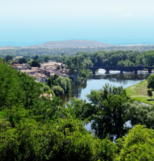
Les puys de Montrognon et Chomontel

Opening dates and times
All year round.
Services and equipment
| Average length of single visit : | 150min |
|---|---|
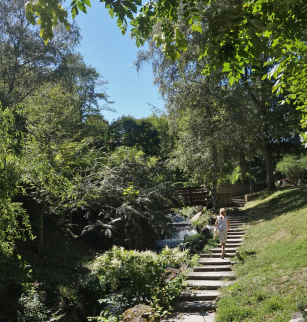
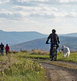
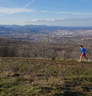
| Activities : | Pedestrian sports, Hiking itinerary |
| Daily duration : | 2h30 |
| Distance : | 7.3 km |
| Change in altitude (uphill) : | 276 m |
| Maximum altitude : | 699 m |
| type of itinerary : | BOUCLE |
| Marked itinerary : | Yes |
Prices
- Free access.